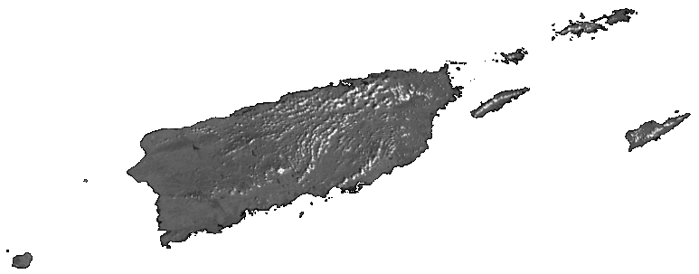
Puerto Rico - US Virgin Islands
This web mapping application includes data layers to facilitate analysis of land cover and water quality change over time, including satellite and aerial imagery, land cover datasets from a variety of data sources and time periods, in-situ sampling data of benthic coral, ten years of daily turbidity and chlorophyll-a data from the MODIS satellite, and ten years of daily precipitation estimates from the national weather service.
Because of the extremely large volume of data provided on this site and the use of shared infrastructure to make this data available, it may take some time for map layers to appear, particularly the detailed water quality data. We have made every effort to optimize performance, but we do ask for your patience to allow layers to load before trying to interact with them further - impatience will only reduce performance further. This site also relies on modern JavaScript libraries that are not fully supported in older versions of Internet Explorer - we strongly recommend Chrome or Firefox. Internet Explorer 11 is acceptable as long as epa.gov is not included in your "compatibility view" settings.
This change data is being made available to potential users to evaluate both data utility and quality. Specifically, EPA is requesting that users provide input concerning the functionality of the web page, the usefulness of the change year data coverages, and any insights concerning data quality. Feedback from potential data users will determine the future provision of data products to the user community. Please note that this is a draft product that is subject to further modification.